Pflanzen I Pilze .
Farbe I Form .
Utah -
Staaten .
Fläche
219’887 km²
Einwohner
2’817’222 (2011)
Bevölkerungsdichte
13,2 Einwohner je km²
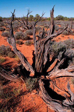
Geographie
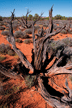
Norden: Grosser Salzsee und Salzwüste; Zentrum: Rocky Mountains; Süden: Colorado-Plateau. Sandstein-Schluchten
und -Tafelberge.
Klima
Extremes Steppenklima, heiße Sommer, kalte, schneereiche Winter.
© B.D.ESIGN, Benno Delvai
Index USA
USA I Utah (UT)
USA_2011_UT_0397
USA_2011_UT_0370
USA_2011_UT_0409
USA_2011_UT_0373
USA_2011_UT_0437
USA_2011_UT_0394
USA_2011_UT_0485
USA_2011_UT_0443
USA_2011_UT_0472
USA_2011_UT_0433
USA_2011_UT_0389
USA_2011_UT_0469
USA_2011_UT_0415
USA_2011_UT_0377
USA_2011_UT_0468
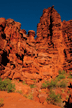


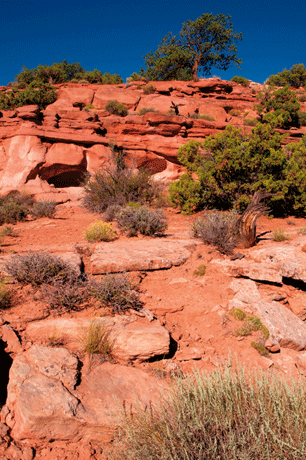
Echo Tower I Fisher Towers Trail
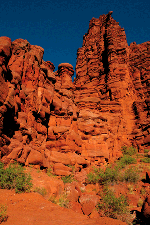
USA_2011_UT_0370
Fisher Towers Gebiet

Fisher Towers Trail
USA_2011_UT_0373
Fisher Towers Gebiet
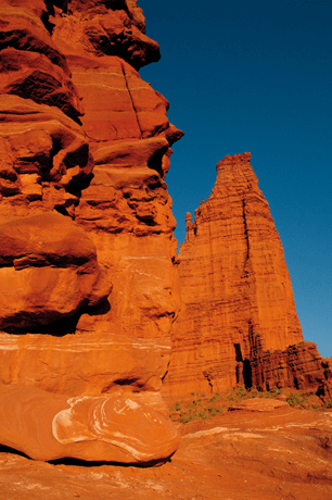
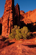
The Titan I Fisher Towers Trail
USA_2011_UT_0377
Fisher Towers Gebiet
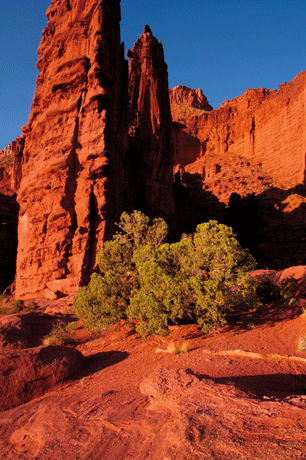
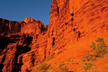
Cottontail Tower I Echo Tower I Fisher Towers Trail
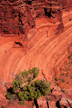
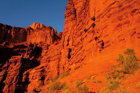
USA_2011_UT_0389
Fisher Towers Gebiet
Onion I Fuss des Cottontail Tower I Fisher Towers Trail
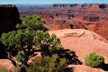
USA_2011_UT_0394
Fisher Towers Gebiet

Blick in Richtung Castle Valley I Fisher Towers Trail
USA_2011_UT_0397
Fisher Towers Gebiet
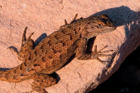
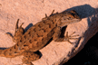
Eastern Fence Lizard (Zaunleguan)
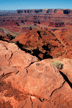
USA_2011_UT_0409
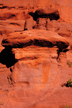
Dead Horse Point State Park
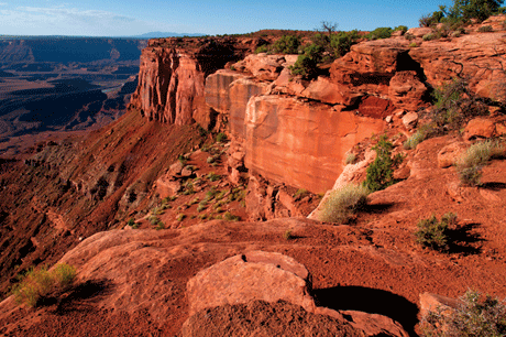
Basin Overlook Trail I Colorado River
USA_2011_UT_0415
Dead Horse Point State Park
Basin Overlook Trail
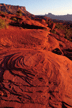
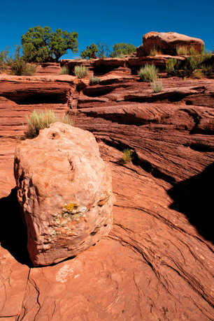
USA_2011_UT_0433
Dead Horse Point State Park
Basin Overlook Trail
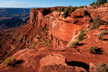
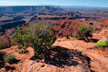
USA_2011_UT_0437
Dead Horse Point State Park
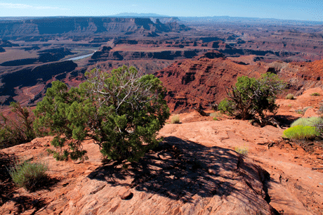
Basin Overlook Trail I Colorado River
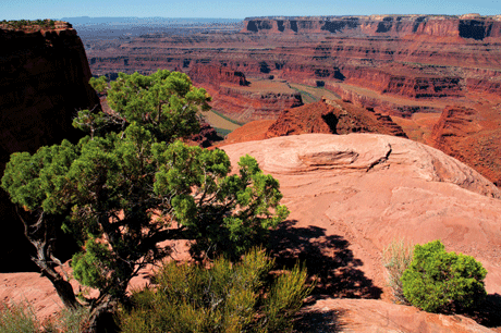
USA_2011_UT_0443
Dead Horse Point State Park

Goose Neck des Colorado River I The Neck Gebiet
USA_2011_UT_0468
Dead Horse Point State Park
The Neck Gebiet
USA_2011_UT_0469
Dead Horse Point State Park
Goose Neck des Colorado River I The Neck Gebiet
USA_2011_UT_0472
Dead Horse Point State Park
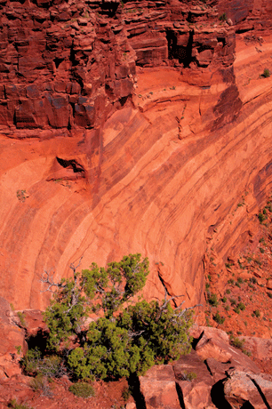
The Neck Gebiet I Point Overlook Trail
USA_2011_UT_0485
Dead Horse Point State Park